Traceability
Sources, criteria and derived layers must remain reviewable, citable and open to technical scrutiny.
TerraNava is a technical NGO focused on water, basins and territory. It produces hydrological reading, structured evidence and practical tools for administrations, universities and cooperation networks that need to decide with more clarity and less noise.
TerraNava works on concrete problems: water, basins, relief, exposure, climate and flood risk. Its value lies in ordering information, producing defensible readings and turning dispersed evidence into criteria that institutions can actually use.
Applied diagnosis. Hydrological and territorial reading for planning, drought, floods and water governance.
Institutional work. Support for public administrations, universities, territorial organisations and specialised networks.
TerraNava combines technical production, methodological traceability and institutional usefulness. The goal is not to accumulate analysis, but to produce clear ground for decisions, pilots and serious public work.
Sources, criteria and derived layers must remain reviewable, citable and open to technical scrutiny.
Technical work matters only if it helps order real decisions and leaves clearer operational ground behind.
International and territorial dialogue requires sobriety, evidence and formulations that can stand in meetings and reports.
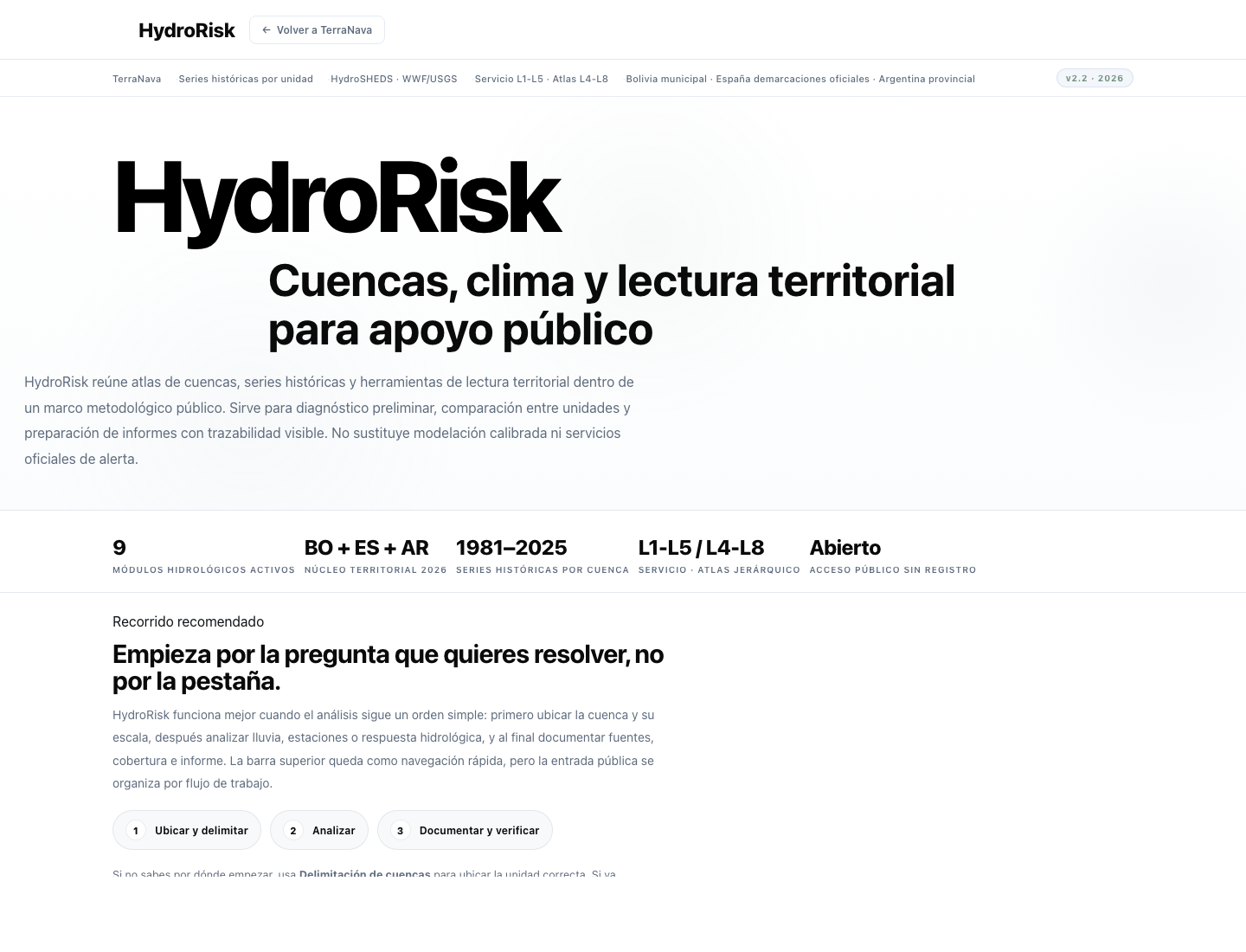
HydroRisk integrates basin atlases, climate reference layers and territorial reading inside a public methodological frame. It helps organise preliminary diagnosis, technical support and institutional communication without losing traceability.
Basins and hierarchy. Multiscale navigation for hydrological reading with consistent geographic foundations.
Climate and risk. Historical series and hydroclimatic interpretation with explicit service levels.
TerraNava keeps a direct channel open for administrations, universities and cooperation actors that need to start a serious technical conversation.
Institutional channel for enquiries, coordination and applied technical collaboration.
Water, territory and technical cooperation for public decision-making.